
The art of bushwalking is to enjoy the outdoors, whether trudging down a narrow track, undulating across forest terrain, or stepping up a mountain trail. In short, follow the path in front.
The art of rogaining is to find a flag in the bush, either down a galley, in the watercourse, up along a spur or at the highest peak. There are no tracks, paths, signs, or final destination. The participant starts and finishes at the same spot. The siren sounds, and you shuffle away and return when the time is up. Your goal is to score as many points in the time allowed. If you finish with the most points, you could win a trophy and accept a prize with pride. For the rest of us, having to enjoy the experience, laugh at the mistakes, walk through nature and/or remember the adventure. What distinguishes the placings is the knack for interpreting the map, working out the best route, trekking to the highest numbers and visiting as many flags as possible. The art is about time and distance. How far and how fast can you go? How to navigate by preserving your energy, staying high and low, walking through open fields, around thick bush, over rivers, and down ravines, is all about your route. Rogaines events range from 3 to 4 hours, 6 to 12 hours, or 24 hours.
An orienteering mate had asked me to team up with him for a 6-hour event back in 2016 at a place called Gubgenby Valley, 2 hours south of Canberra, and I loved it! Walking through the bush with a purpose was the way to go. He told me about a 24-hour Rogaine he did the year before. It is a gruelling event in which you travel 24 hours through the bush to find controls in the day and the night. It sounded pretty cool, so I put it on my bucket list. Eight years later, I convinced my running work colleagues that it was an event to do and an adventure to have.
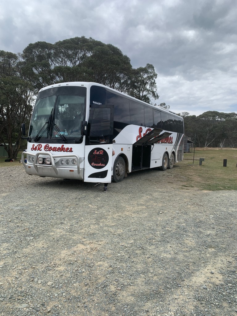
Well, the weekend had arrived, and our plan was to bus to and from the event. We will leave on Friday and return on Sunday afternoon. We thought we would be too tired to drive back to Canberra.
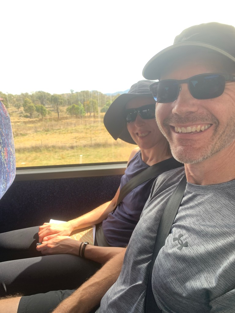
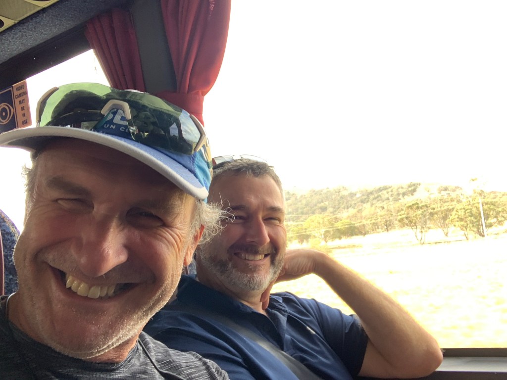

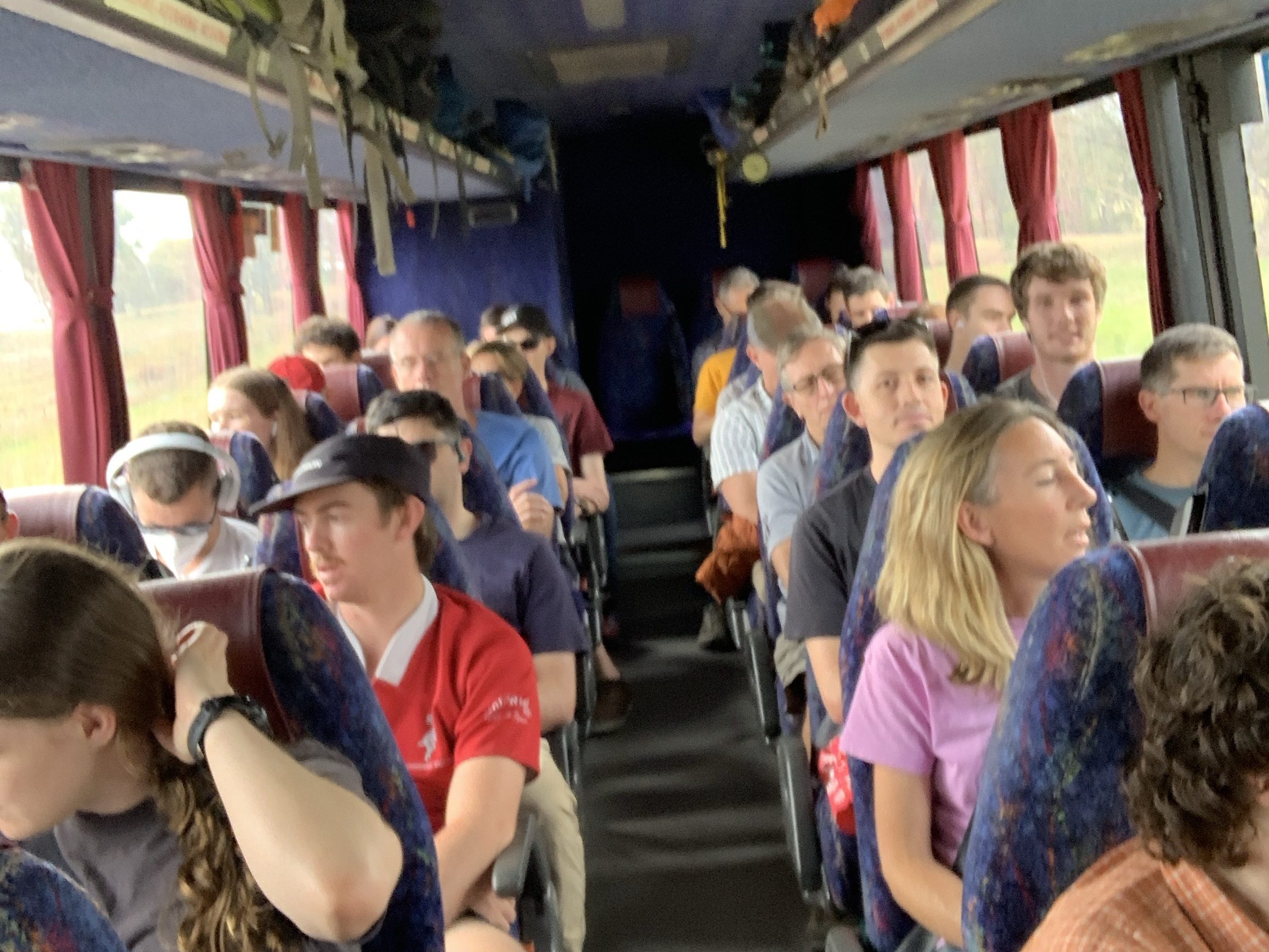
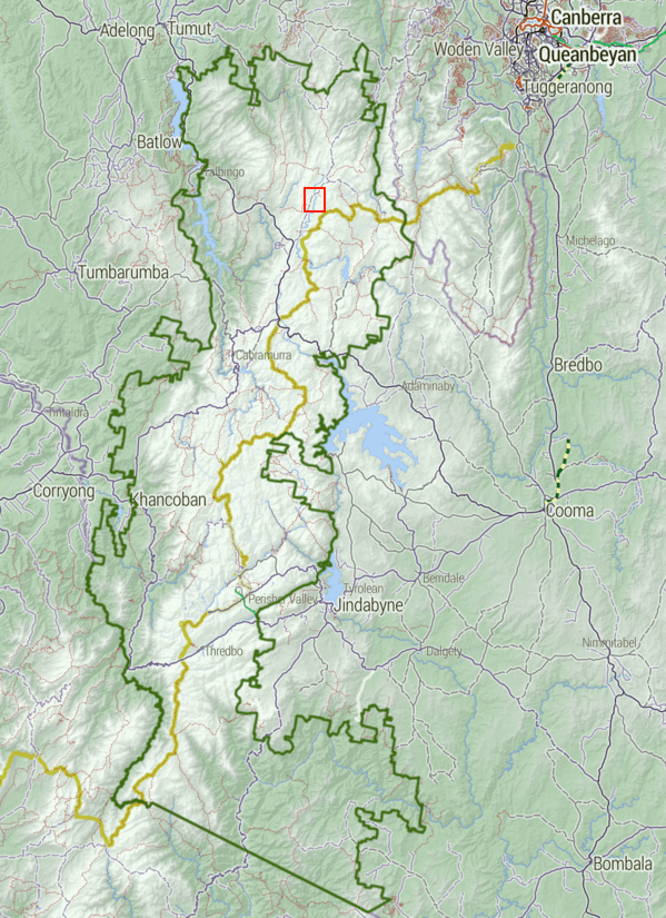
On Friday afternoon, we travelled by bus to the Northern plains of the Kosciuszko National Park—a 3-hour drive south of Canberra via the Airport. The 52-seater bus was at capacity, and riders were excited. I visited this area 30 years ago, visiting the Bluewater Holes and the Cooleman caves walk. I was excited to be there again. The Rogaine map extended to include the Cooleman caves. To get there, you travel up the Snowy Mountain Hwy from Cooma towards Tumit, the turn-off to Long Plain road was halfway between. Our destination is Cooinbil Hut, which is about 15 km away. There are a few camping areas along this road; you can see evidence of horse riders and mountain bikers at certain camping outlets. The Cooinbil hut was specifically booked out to the Rogainers for the weekend.
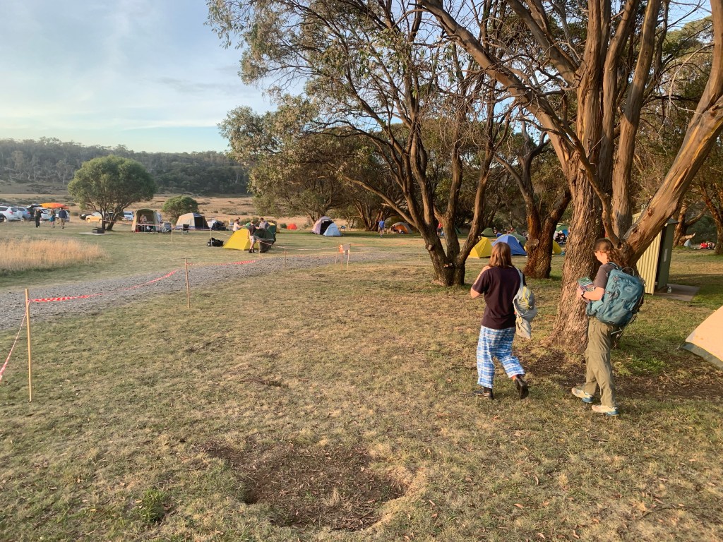
Our arrival was late afternoon, and putting up our tents was easy. We had plenty of flat grassy areas close to the bush toilets. However, I was concerned that the toilets’ proximity would cause an unpleasant aroma during my sleep. I also noticed a large number of wasps flying around the grass patch, so moving my tent away was probably a good idea.
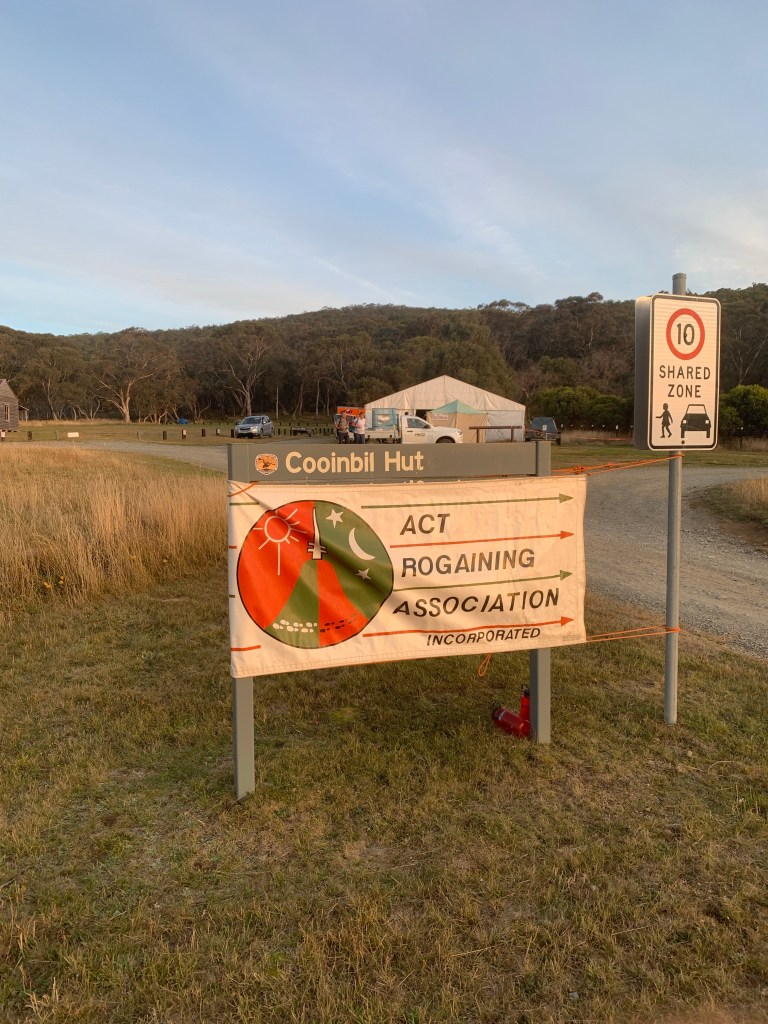

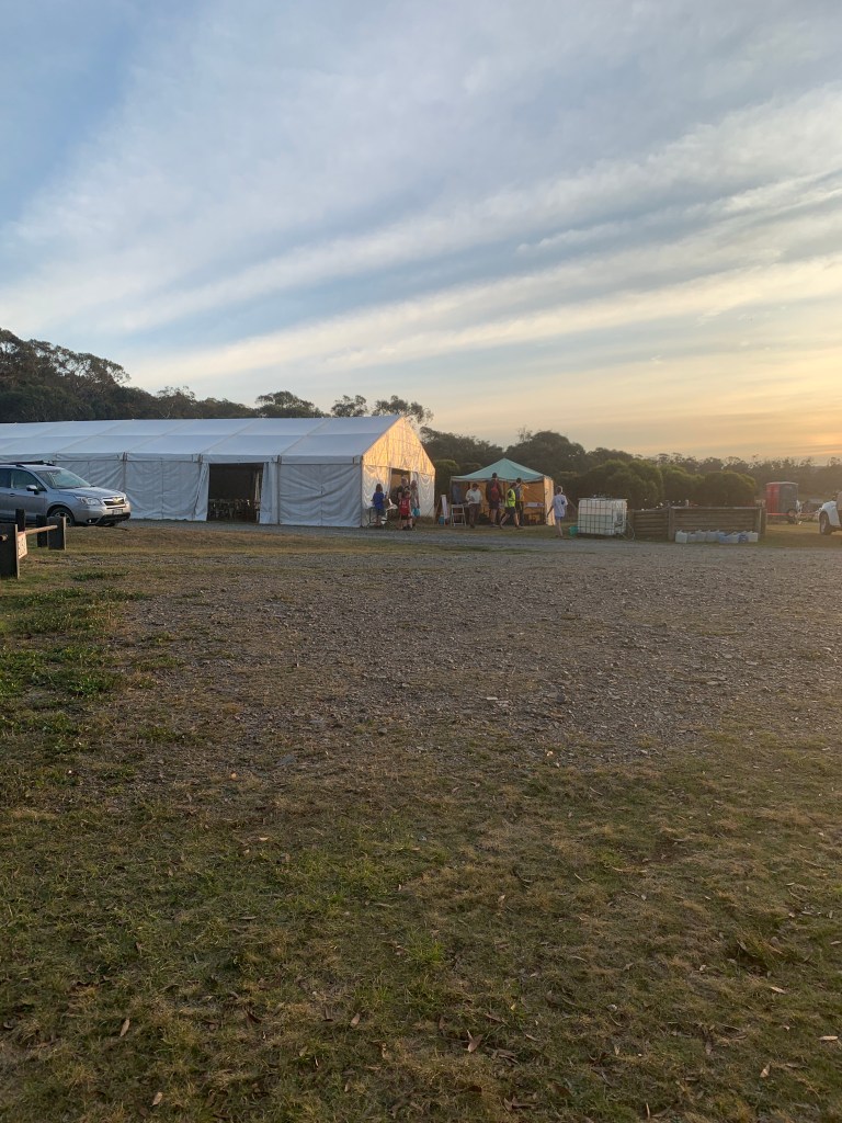


My team of four consisted of Dean, myself, and the Kalinins (Mike and Liz). So our team name was “Team Deandkals.” I had organised shirts for our team, which added to the experience. The race didn’t start until the next day at midday, so we went over to the Hash House shelter and played cards until we got tired enough to settle in for the night.


The race started at midday, and since using phones and smart watches was banned, although you could take them with you, but they had to be sealed into a provided plastic sealable bag. I would say most of the participants had set their Strava off before the devices were sealed up. I did the same, including my power bank, to make sure the phone didn’t go flat. Besides, it was the Australian Rogaine Championships, so it was important to track your progress.
The siren had sounded at noon for the mass start, and we were off; it was a long event, so walking instead of running was smart. We followed 20 people who decided to visit the same control flag. However, after that, the competitors went out to follow their plans. There are 100 control flags scattered out in a 20 km squared area, so every team has 3 hours beforehand to mark their plan. We marked ours with a highlighter so it was easy to follow. After the second control point, we were alone. The maps were scaled at 1:25000, so every centimetre on the map was 250m; we were walking at 3.5 km per hour across the path terrain, slower for dense bush, so covering 250m approx every 5 minutes.
Our route wasn’t the best plan for obtaining maximum points for the distance travelled, but it was solid for easy navigation. Nighttime orienteering was going to be particularly hard. You really need to know where you are all the time, or else you will get lost.
It is best to refer to the map for this next part in which we had trouble with. Our route from the track to 57 followed the river up to the peak, which we found okay. Our next move was to follow the high range east until we got to the hill and turn right, then south to 97. This is where things get tricky. We got to the correct galley/watercourse, but the flag was nowhere to be seen. Walking up and down thick bush without success, we went south towards Port Phillip gap to see if we were on the right gulley, and we were. I walked up the gulley again and still couldn’t find it. The control point was worth 90 points, so I didn’t want to move on. We wasted 90 minutes looking for it without success. It was time to move on.
By this time, the confidence in the group was low, so we continued to the water drop W3 instead of walking up to 48/96. My feet were starting to hurt now, noting that the shoes I bought were costly Salomon trek shoes. All I’ve experienced from these shoes were blisters. My toes were butting up against the toe of the shoe. It felt like my feet were in a pressure cooker, squeezing together for every step I took. My toenails will be black tomorrow, for sure.

The group’s mood was low, and our conversation turned to the aches and pains we felt. Trying to lighten the mood, I talked about what it would be like to be a refugee walking from their homes to find peace somewhere else. The items they would need to carry, such as holding the briefcase by the handle instead of a shoulder strap to distribute the weight. We had purposely designed camel packs, and the refugees were carrying their bags and their children and/or dragging their belongings for hundreds of kilometres; what am I complaining about? It did not help the group, but it helped me.
Our rest at the water stop was well received; we had only been trudging for 6 hours, and knowing we had 18 hours to go was sobering. The water stop had a box full of goodies: bananas, apples, fruit cake and other sweets. We stopped for 15 minutes, and once others had populated the rest, we set off again. Number 98 was our next point. It was a kilometre off the road through open land, but the spongy field wasn’t easy to walk; although easy to navigate and had few obstructions, every step fell further than you’d thought, like stepping through the snow. The route took a lot out of you. I found it easier to walk through the thick bush than this stuff. Although, the 90 points was worth it.
Our next trek was to 36. Trudging through the open field again was taxing. Still, when we arrived at 36, we were intrigued by the serenity of the small open gully. Listening to the trickle of water flowing through the rocky pools provided a “this is why we were here moment.” Seven and a half hours into the race, we were uplifted by nature and had a small glimpse of beauty and a surreal moment. As much as we would have liked to stay here, the sun had set, and it was time to turn on our torches. The Murrumbidgee flows 900 km from south of the KNP to the Murray River at the boundary bend in western NSW. To cross at this point, our feet would get wet. So we took the easy option and went south via the road cross less than 500m away. We were heading back to the Hash House 11 km away via the Long Plain road.
There were a few controls along the way, but we found it hard to navigate at night, so we took the cautious approach and picked the easy ones. Six pylons (Electrical Towers) away was controlled 26, so we counted the pylons until we got to the point to turn off the left. The gully was opposite the pylon. We trekked up a little way up this gully. We were troubled by not having the comforts of daylight, where to place the foot, the expansive of the gully, losing visibility through the trees and walking a lot slower. We gave up early and kept walking North up the road towards 28. By the time we got to 28, the groans in the group were getting louder, had different issues than before, and those small niggling injuries were becoming more pronounced. For me, it was the toes, the blisters, the knees and the hips. I wanted to stop, but I know I wouldn’t get up again. Some cars were coming down the road, I thought about putting my thumb out, saying I’m done, I’m out, a good rest is all I need, but then I thought about the refugees again; they wouldn’t have the comfort of a ride or even a water stop with a box full of food. They had nothing, so it was time to suck it up and keep going.
We arrived back at the Hash House at 11:15 pm. This was our rest for the night; the Hash House puts on food all throughout the event: Beef Massaman and Thai curries, soups, sausages, salads, cheese toasties, sandwiches, sweets and cakes. The menu was decent, you couldn’t complain. We stumble to the Hash House tent, where other competitors were telling their stories, laughing, eating their food, and drinking that hot cuppa tea they’ve dreamed for. Life is good again, well until their next trek. The plan for us was to leave at 8 am. We revised our plan, which was not so ambitious. Still, we were happier to navigate during the day, although how would the body cope in six hours? I felt sorry for the keen enthusiast who would trek through the night. Is it going to be worth it?

The following day, Dean was keen, knocking on our tents to get moving at 7 am, eat breakfast, and then go. We reluctantly got up and wobbled to the Hash House again; this time, the menu changed: porridge, soups and toasters. How cool! We started our trek at 8:02 and started on the wrong path to 80, but we found ourselves at 30. We were planning to get four more controls today and then call it. At 11:15, we tapped out at the finish. We were done; my 24-hour adventure was over. Looking at my teammates, they appear to be relieved but happy they did it. Our score was low compared to others; I’d admired the ones who persevered through the night. It would have been a slow slug. Most contestants said it was hard terrain and difficult to trek through. The night O was slow going, and very little was achieved. The ones who navigated well at night did well on the podium. We ended up with 580 points, the winners got 3600. They got a trophy, but we had the same experience, so I’m happy.
The question I need to ask is, would I do it again? It’s a hard one to answer right now. Probably not. In the future, it depends on where it is. Finding controls down the Murrumbidgee wayfare was a great experience. I was in the wilderness, walking amongst the trees and the fields, and maybe at some point, my foot had stepped where no human had stepped before. One could only hope; perhaps I’ll do another event again.
We also qualify for the World Rogaine Championship in Spain in 2026 and the South Australia Flinders Ranges in 2027.


Leave a reply to Anonymous Cancel reply